Monday, April 20, 2015

Chapter 13

Map of the Columbia Plateau

The Columbia Plateau


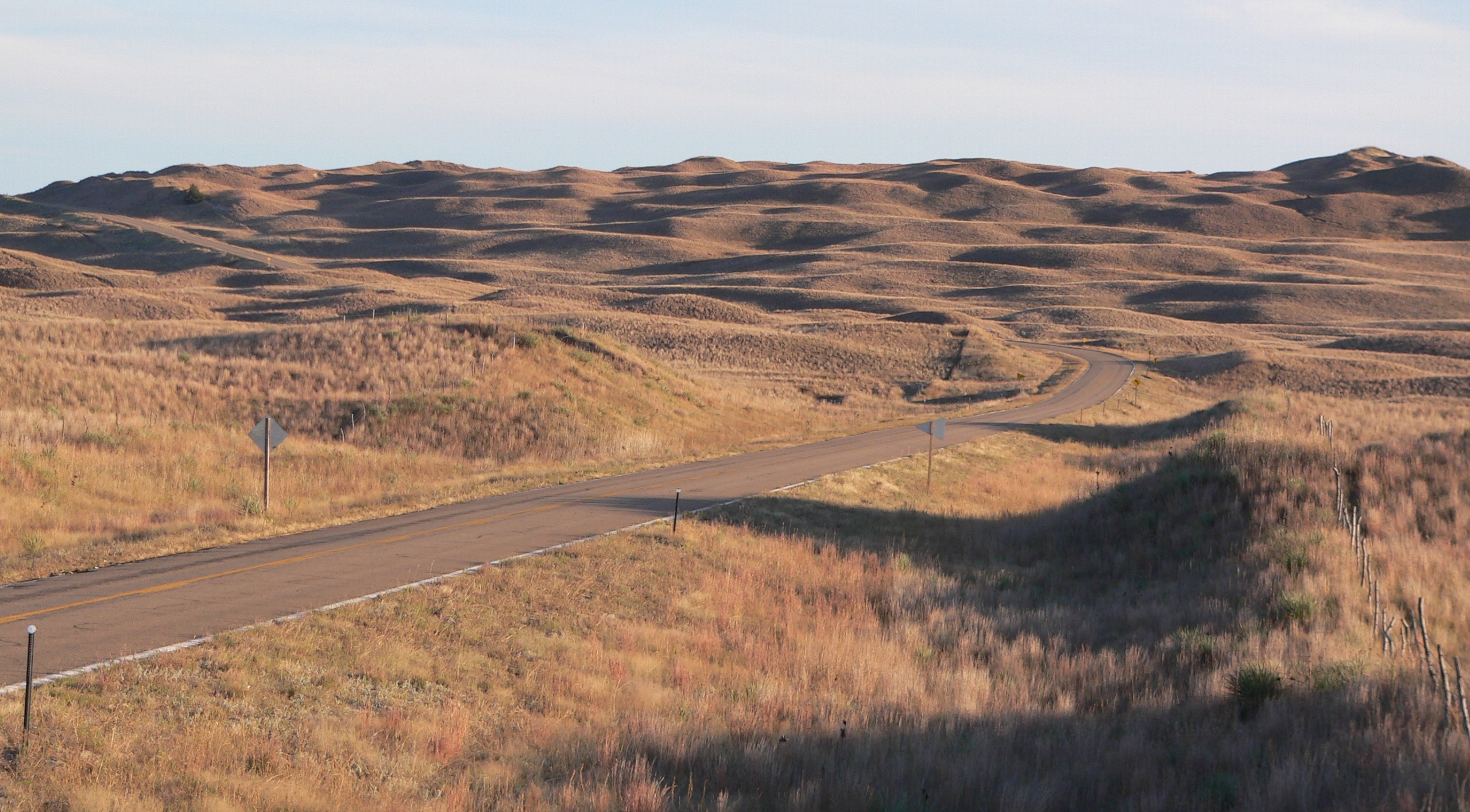
Although whole Oregon is not part of Columbia Plateau, it is very significant on physical geography of the state.The Columbia Plateau is  a basal flat region located between Rocky Mountains and Cascade mountains.The great Missoula Flood in Pleistocene time also shaped plateau uniformly covered with basaltic lava flows, but significant warping and faulting have caused elevations above sea level.Series of rolling hills, steep sided dry canyons,surficial lava flows are characteristics of Columbia plateau.

The plateau covers an area of about 100,000 square miles of southern Washington, Northeastern Oregon, and Western Idaho. Snake River and Columbia Rivers are major rivers irrigate the Columbia plateau. The climate is usually semiarid, and vegetation is limited mostly to shrubs and grasses.However,some parts of plateau is fertile and productive due to precipitation.

 Sources-The Geography of North America,2nd edition.Images by google.

Sunday, April 19, 2015

Chapter 12


Mt.Hood, Oregon


Cascade mountain range oriented North-South across the Oregon.Mt.Hood is the Highest peak in the Oregon which is 11,249 ft.Also world's second most climbed mountain and the loftiest mountain in North America.Mt.Hood is actually an active volcano formed by subduction zone on Pacific Plate, but explosive eruption is highly unlikely based on history and observation.

Mt.Hood is popular tourist attraction in Oregon.Mountain climbing, snowboarding, skiing and hiking are perfect for this destination.The Columbia River running next to the mountain adds a scenic beauty for snow capped Mt.Hood.

Source-www.traveloregon.com
             You tube


Wednesday, April 15, 2015

Chapter 11


 Sand Hills of Oregon


Nebraska Sand Hills

         Nebraska Sand Hills  cover 19300 square miles in the Great Plains.This makes largest dune in Western Hemisphere.Similarly Oregon has largest coastal sand dune in North America. which Oregon Dunes National Recreational Area is located at North Bend ,Oregon.It occupies an area of 40 miles of coast. The Oregon Dunes are a unique area of windswept sand that is the result of millions of years of wind and rain erosion on the Oregon Coast. Some of the sand dunes are 500feet tall which provides many recreational activities such as hiking, camping, photography,off road vehicle use and  horse back riding. However, Nebraska Sand Hills are used for cattle ranching and tourism unlike Oregon Dunes which is only suitable for tourism.

 Sources -Chapter 11, Geography of North America/ State parks.com/Google images
Oregon Dunes

Oregon Dunes

Monday, April 6, 2015

Chater 10

Oregon Coast


Oregon has 350 miles of  coast of Pacific Ocean which contributes to the beauty and economy of the state.The state's coast is historically significant because Lewis Clark Expedition ended here.Oregon beaches are surrounded by towering pines or other lush landscapes.Oregon state passed a bill  (Oregon Beach bill of 1967) which enable access to all beaches free.Also, the bill facilitate to build a Oregon Coastal Highway beginning from California(south) to Washington(North).Also, there are 36 state parks created along the coastal highway.The completion of coastal highway and park system not only add beauty to state, but also contributes to the state's economy by coastal tourism.Moreover, Oregon coast is home of diverse marine ecology.Several species of seals, sea stars,sea birds, kelp forest and many other marine animals can be seen in different parts of coast of Oregon.

Sources- http://theoregoncoast.info/
Photos-Google
Sea star in Oregon Coast
Oregon Coast